Now for a brief interlude from our North Korea programming…I’ve written a few posts here and here on the Korla Missile Test Base. A colleague sent me a note last week asking if I’ve looked at any recent satellite imagery of the facility. Well, I admit I hadn’t. But I have now!
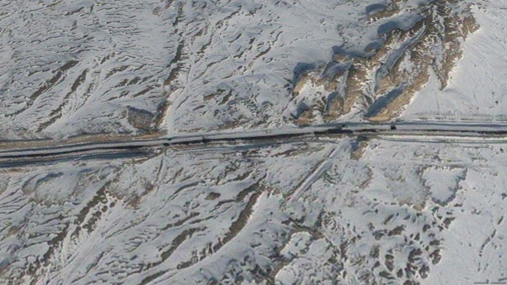
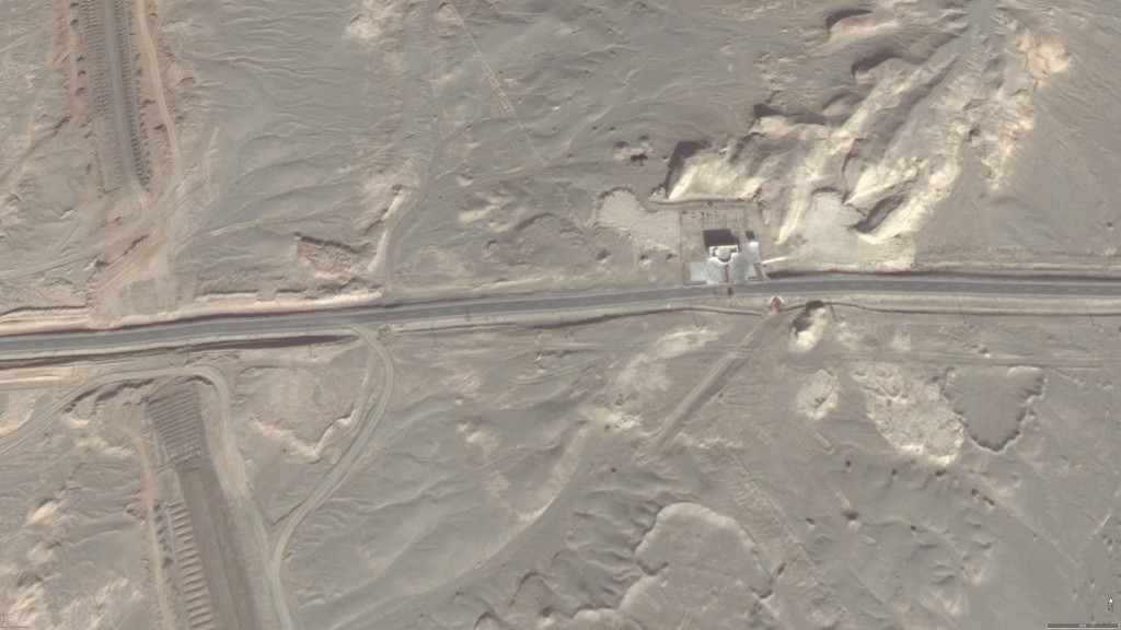
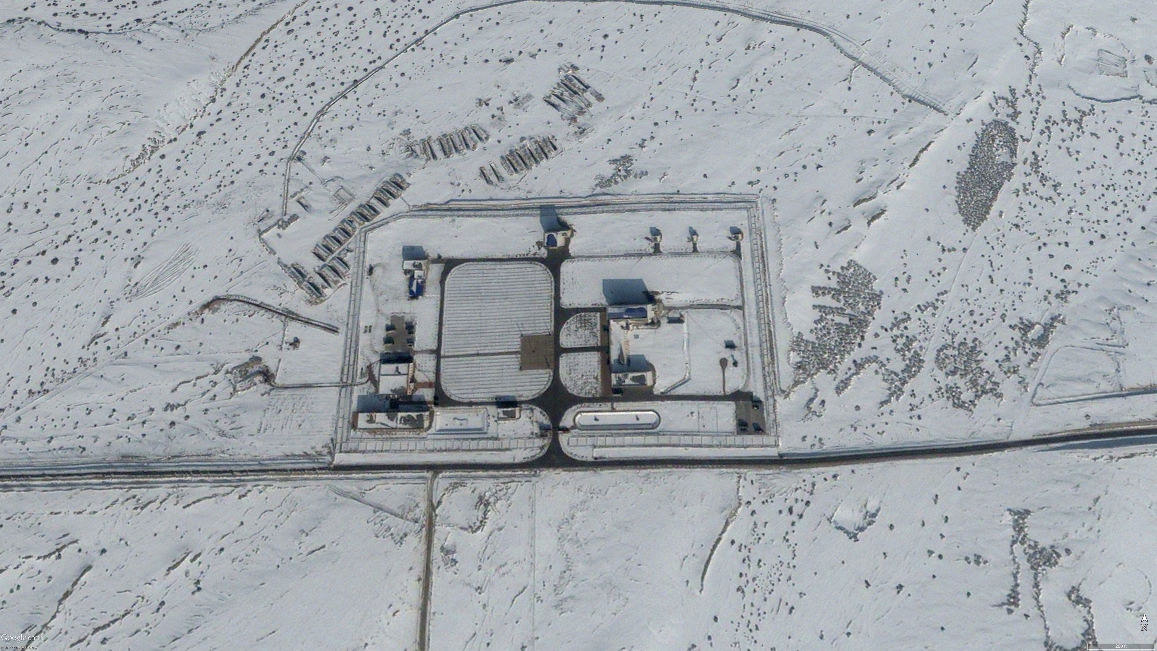
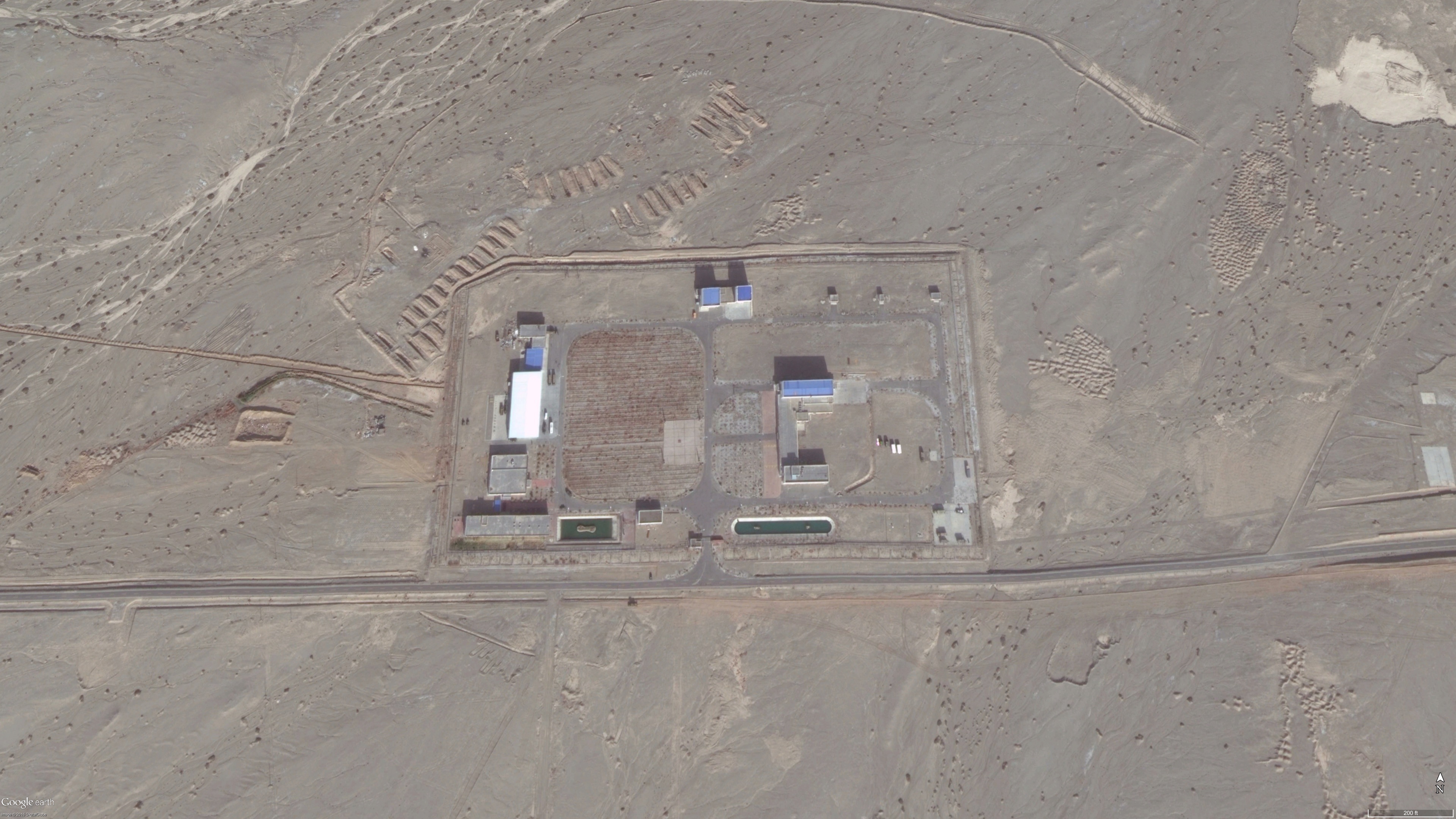
The last satellite image I had was from January 2013, but GoogleEarth has since added 2.5 new images. There are beautiful images from November 2013 and May 2014, and one from November 2015 that unfortunately only covers half the facility. Much has changed in three years, which I would expect given the increasing number of reported missile defense tests. It is clear from the images that there has been ongoing construction for additional administrative and launchpad support buildings, enhanced security, and perhaps installation of more permanent instrumentation. Take a look for yourself!
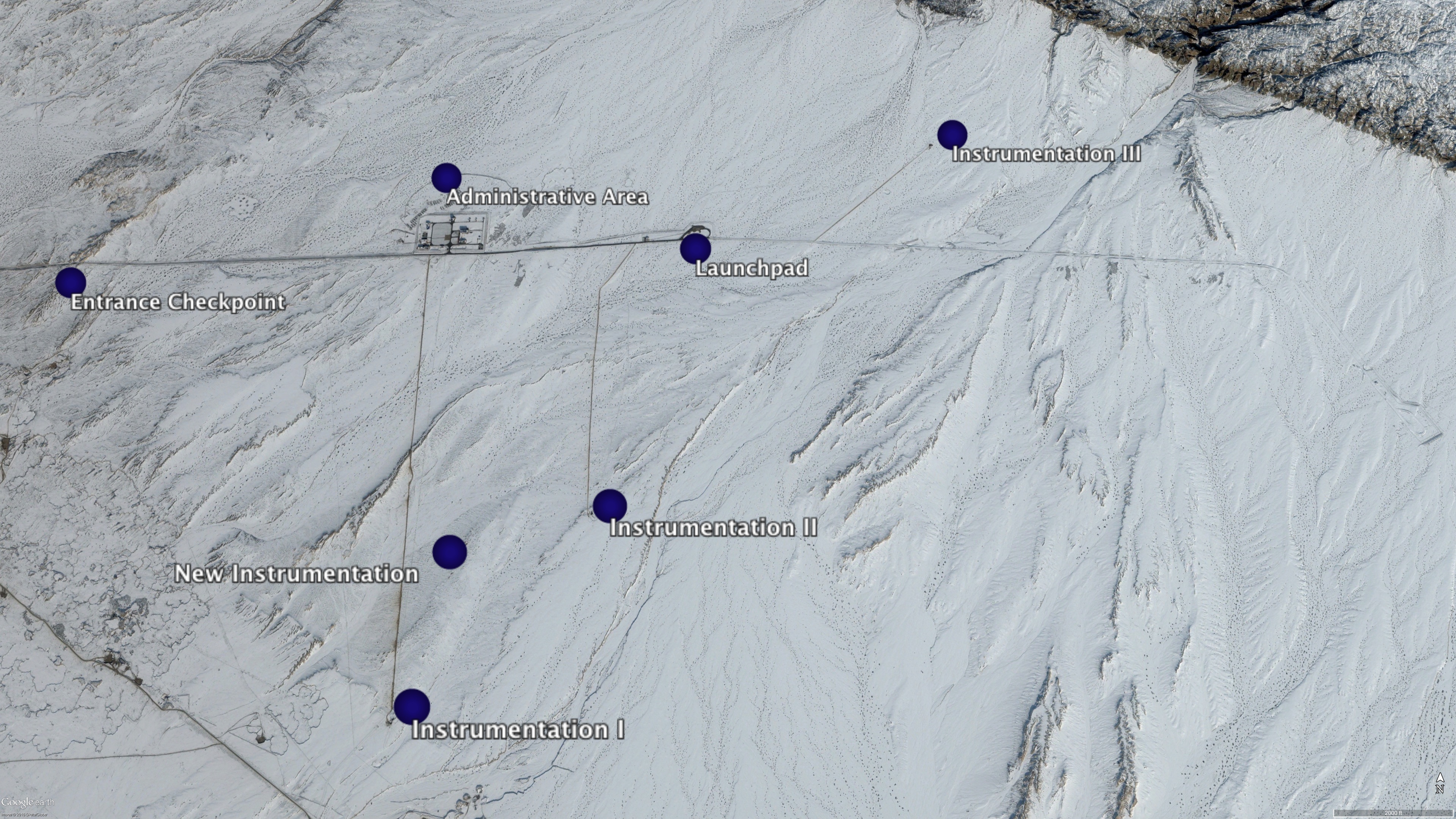
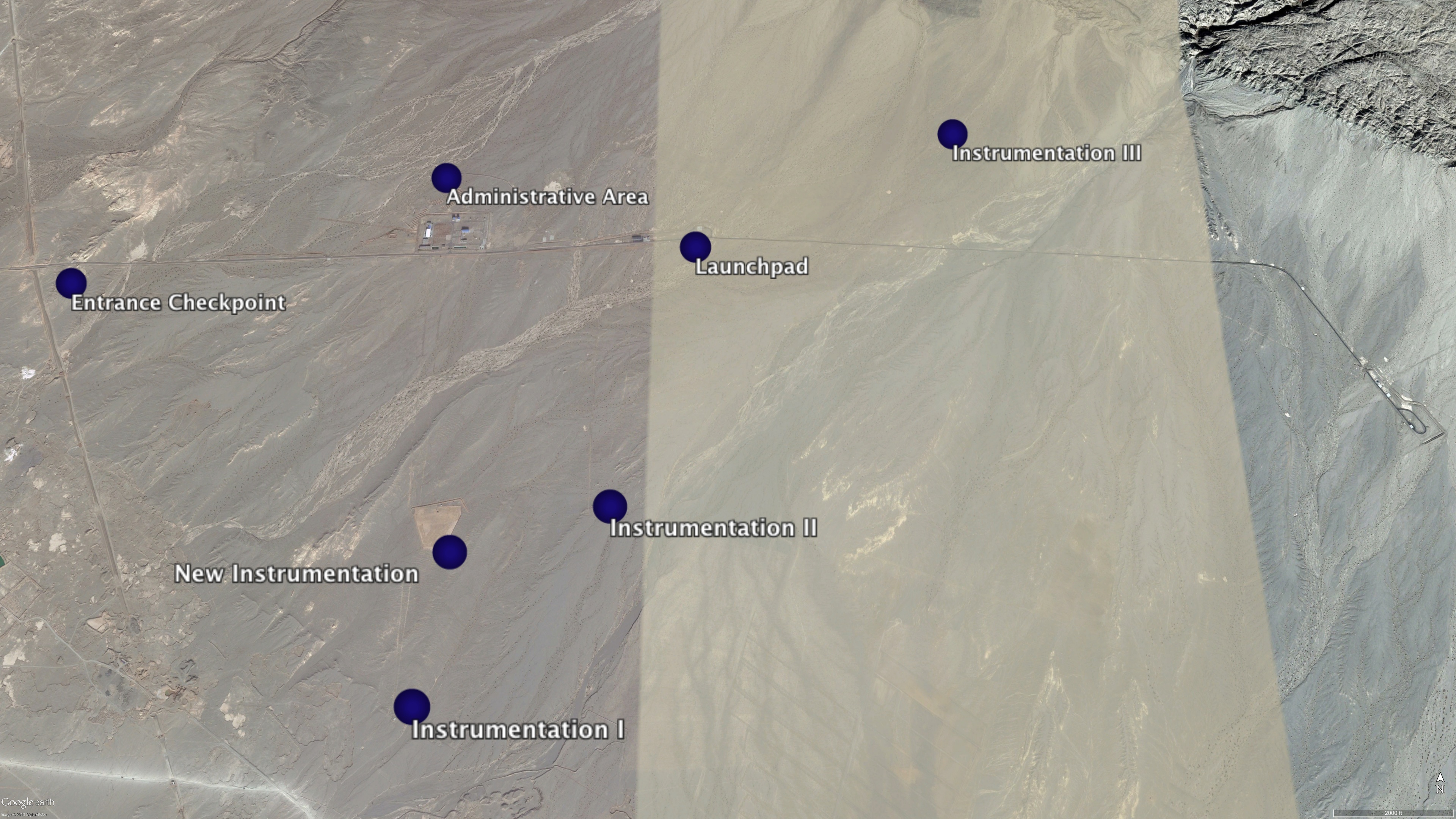
The administrative area has several new buildings, perhaps to support additional personnel.
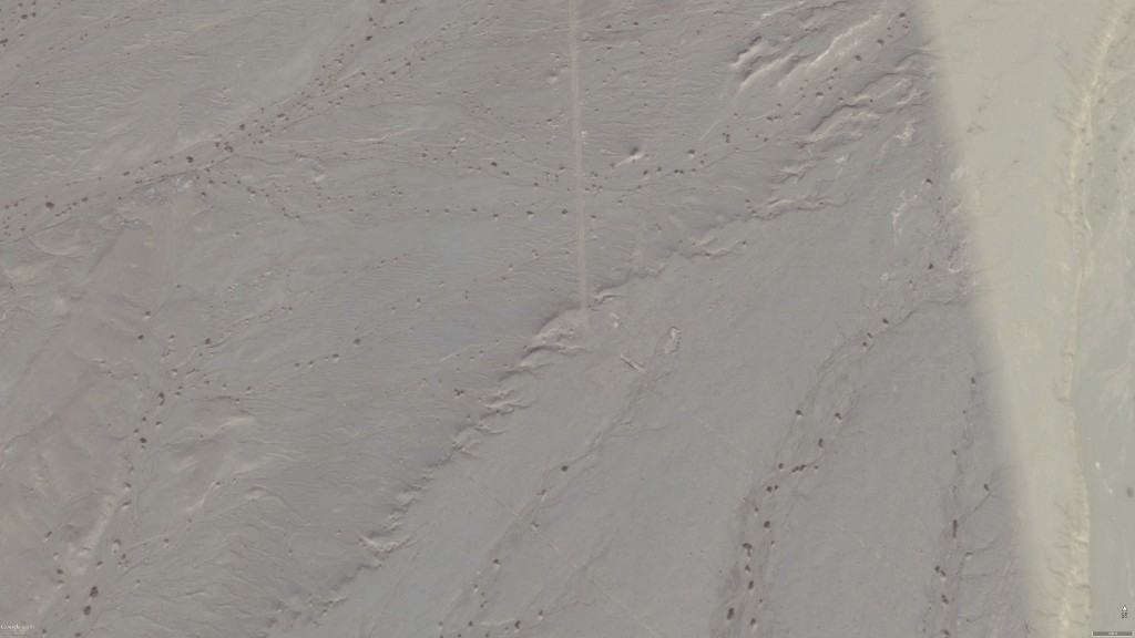
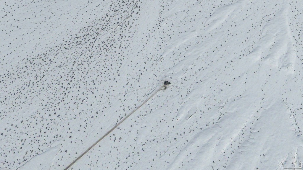
Instrumentation area I still has a concrete pad, but its level of use is difficult to discern from the available imagery.
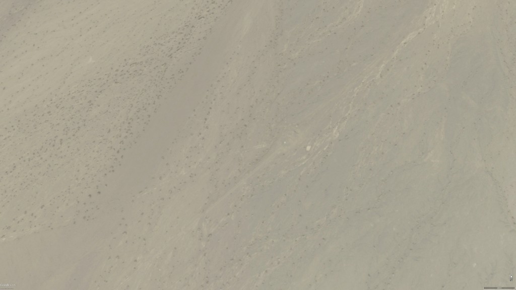
Instrumentation area II appears to no longer be in use, but imagery from an active test would provide better confidence of this.
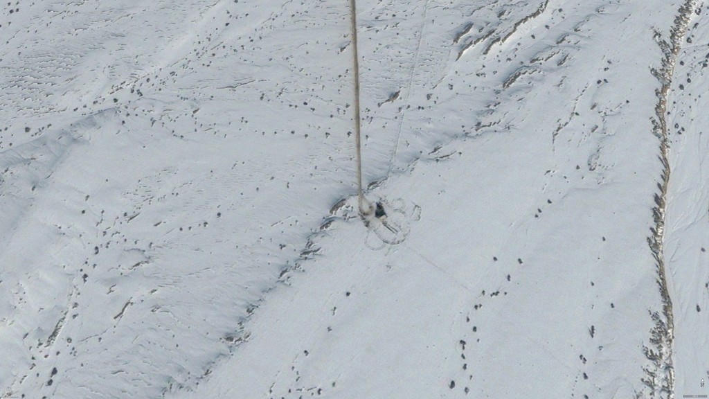
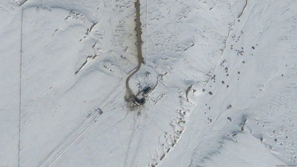
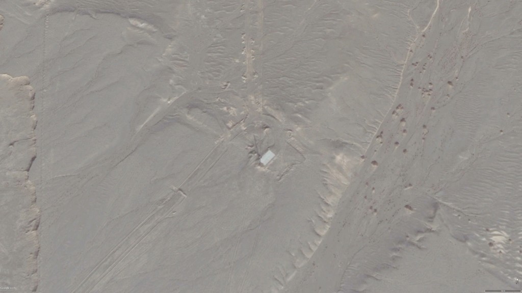
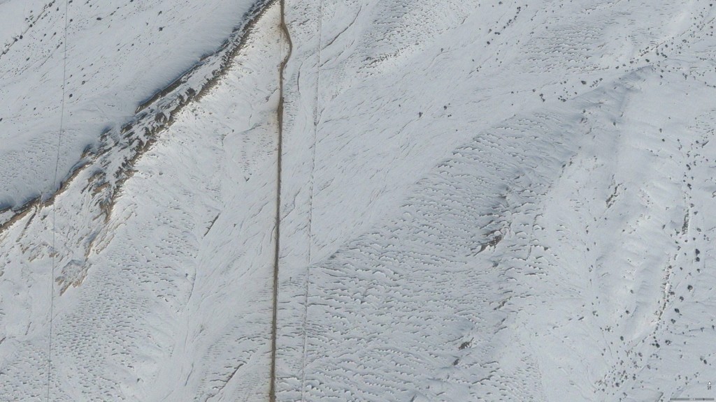
An additional building is present at the launchpad, as well as an antenna (the antenna may have been present in 2013 but it is difficult to tell from the available imagery).
Like instrumentation area II, instrumentation area III appears to no longer be in use.
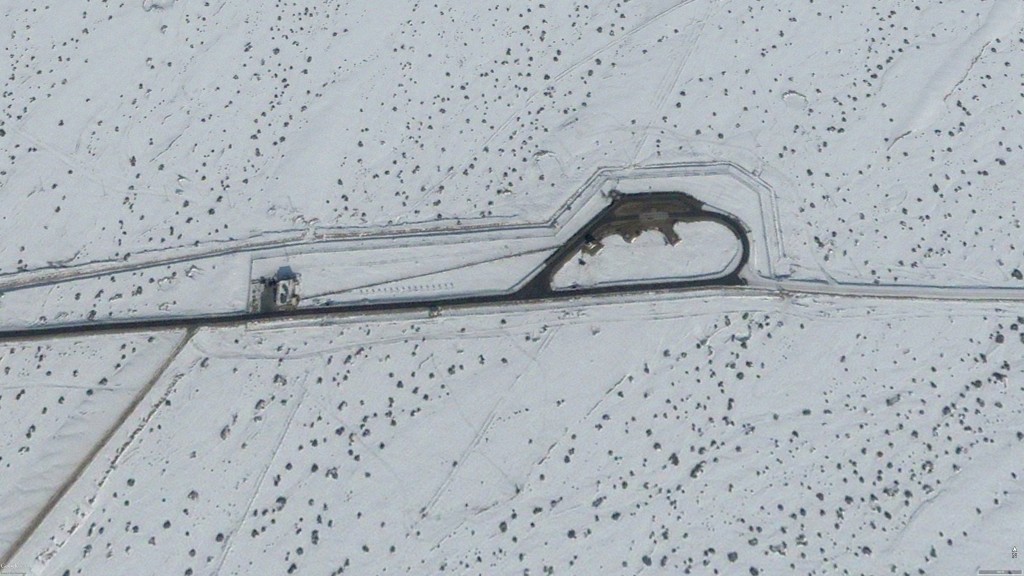
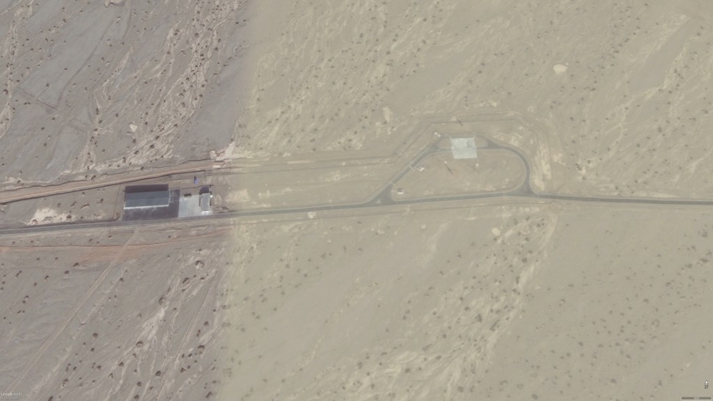
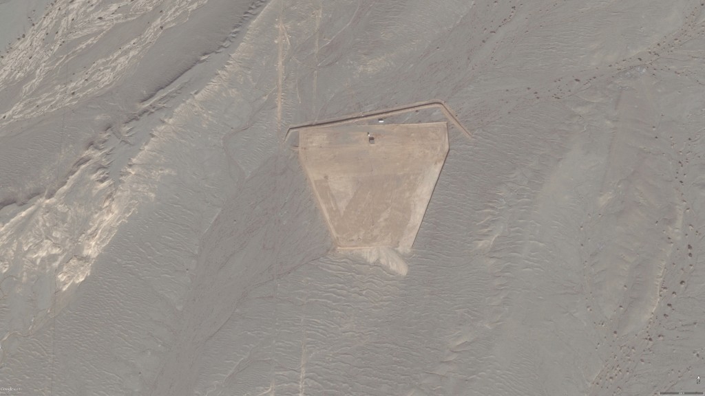
A larger new instrumentation area is now visible.
A new entrance checkpoint to the facility is now visible.